GSLV-F17 puts EOS-05 into orbit, boosting India’s near real-time imaging and commercial space capabilities
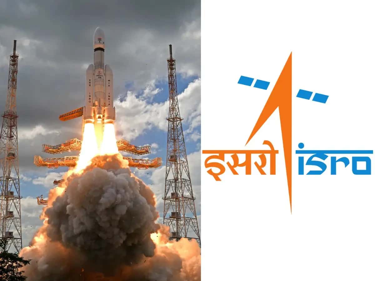
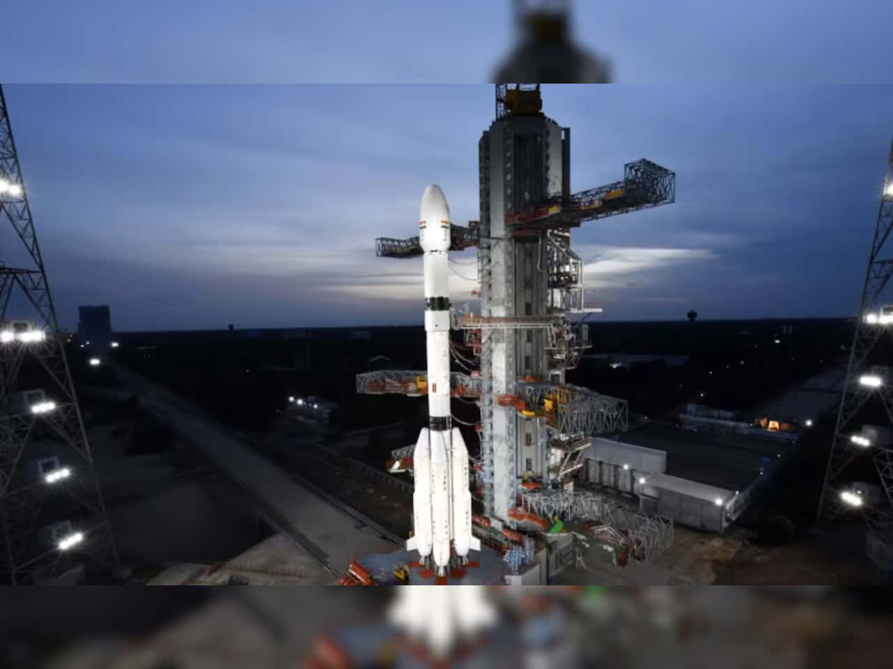
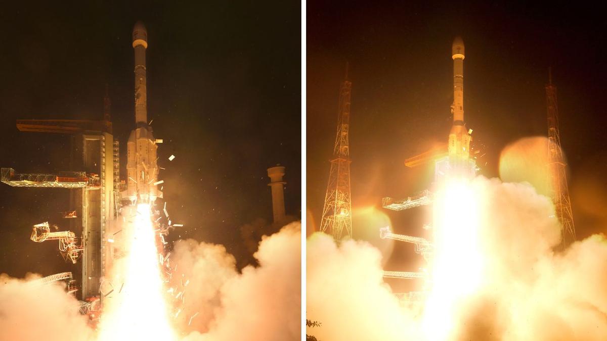
As controllers watched the clock at 2.55 am in Sriharikota, the Indian Space Research Organisation sent up EOS-05 aboard GSLV-F17, putting India's first dedicated geostationary Earth-observation satellite on a path to a much more commercially useful vantage point. The launch matters beyond mission optics: near real-time imaging from geostationary orbit could sharpen India's position in space-based data services, a market where latency, revisit frequency and sovereign access increasingly shape procurement and private-sector opportunity.
The spacecraft weighs 2,367kg and was injected into its planned sub-geosynchronous transfer orbit about 18 minutes after liftoff from the Satish Dhawan Space Centre. From there, it is expected to be raised to around 36,000km, where it will operate in geostationary orbit and match Earth's rotation, allowing persistent observation over the same region rather than periodic passes typical of low-Earth-orbit systems.
That distinction is the core product shift here. A geostationary Earth-observation platform changes the utility layer for users that need continuity rather than snapshots, including weather-linked monitoring, agriculture, disaster response and strategic surveillance. Prime Minister Narendra Modi commended the success and called it a remarkable moment for India's space endeavors, while Isro's chairman said the agency had improved GSLV capability to handle larger payloads. That matters because launch vehicle performance and payload class determine how much of this segment India can serve on its own.
The mission also lands at a time when India's space economy is moving from state capability to mixed public-private execution. Isro's recent push to open more of the downstream stack to industry has already drawn interest from manufacturing and engineering groups, and persistent imaging capacity adds a more monetizable data layer to that trend. My read is that EOS-05 is less about one satellite than about proving a service architecture India can build on, especially as domestic demand for sovereign imagery rises and private firms look for reliable national platforms to build analytics products on top of.
The Geostationary Advantage: Moving from Snapshots to Streaming
The shift from Low Earth Orbit (LEO) to a 36,000km Geostationary Orbit (GEO) fundamentally changes how Earth observation data is monetized. Traditional LEO constellations operate on a "revisit" model—capturing high-resolution snapshots as they pass over a target every few hours or days. EOS-05, by matching Earth's rotation, provides persistent, near real-time surveillance of the Indian subcontinent. For downstream geospatial software startups, this is the difference between analyzing a static photograph and analyzing a live stream. It unlocks high-frequency commercial use cases in algorithmic crop yield prediction, automated maritime domain awareness, and instant disaster response that LEO latency simply cannot support.
The CapEx Shift in Sovereign Procurement
Placing a 2,367kg payload into GEO using the indigenous GSLV-F17 and its cryogenic upper stage effectively de-risks India's heavy-lift launch capabilities. This sends a direct demand signal to the private sector. With the Indian government aiming to rapidly expand sovereign space infrastructure, the successful operationalization of EOS-05 clears a path for private aerospace consortiums to secure larger manufacturing contracts for subsequent geostationary bus platforms and advanced multi-spectral payloads.
Bridging the Data-to-Decision Gap
The ultimate commercial value of EOS-05 will not be determined by the launch vehicle, but by the API layer. The next critical milestone is how quickly ISRO and IN-SPACe can structure commercial access to this continuous data feed. Startups specializing in data fusion, AI-driven climate modeling, and predictive logistics now have a stable, sovereign baseline dataset to build enterprise SaaS products upon, entirely insulated from foreign supply chain disruptions.
What It Means
For investors and companies tracking India's space sector, the signal is straightforward: the value pool is moving from launch spectacle to recurring infrastructure and data products. A geostationary platform can support applications that benefit from continuity, and that continuity can improve the economics of software, analytics and government contracting tied to Earth observation. If Isro can operationalize EOS-05 as intended, it could increase confidence in adjacent businesses, from satellite component makers to geospatial software firms that depend on faster and more regular data refresh cycles.
There is also a strategic angle that markets should not ignore. Earth observation has become tightly linked to national resilience, whether the use case is cyclone tracking, crop planning or border monitoring. In that setting, domestic capacity reduces dependence on foreign providers and gives New Delhi more control over both access and timing. That could influence future budget allocations, procurement programs and commercial partnerships, especially as India prepares for more launches this year, including the Gaganyaan mission.
2,367kg: The mass of EOS-05, making payload capability a central part of the GSLV-F17 mission and a marker for how far Isro has progressed in placing larger spacecraft into higher-value orbital positions.
The market implication is not immediate revenue for a listed company, because Isro itself is not a public equity story. The read-through is broader. Better domestic Earth-observation infrastructure can widen the addressable market for Indian aerospace suppliers, satellite subsystem vendors and software firms building workflows around government and enterprise imagery. It can also strengthen the case for more private participation in launch services and downstream applications, especially after recent industry interest in heavier-lift and next-generation vehicle programs.
Background
EOS-05 was launched on the GSLV-F17 vehicle from Sriharikota, and the deployment adds a new category to India's Earth-observation fleet by placing a dedicated observer in geostationary orbit rather than relying only on satellites that pass over a location at intervals. That operational difference is significant because low-Earth-orbit imaging is often strong on resolution and revisit planning, while geostationary systems trade some of that for persistence over a fixed field of view. For disaster management and fast-changing environmental conditions, persistence can be the more valuable feature.
The mission also fits a visible trend line in India's space program. Isro has been working to extend GSLV's utility, while at the same time preparing a busy calendar that includes human spaceflight work under Gaganyaan. Separately, India has been trying to pull industry deeper into the sector, from manufacturing to launch infrastructure and satellite services. That broader setup matters because one-off mission success is useful, but repeatable industrial participation is what eventually builds a commercial ecosystem around it.
Another underappreciated point is where EOS-05 sits in the product stack. A satellite by itself does not create economic value unless the data can be distributed, interpreted and embedded into workflows that governments and businesses actually use. In practical terms, this mission could become more consequential if it feeds weather tools, crop advisories, maritime monitoring systems and defense applications with lower latency than before. That is where the commercial spillover could emerge, not from the launch event alone, but from the services that become possible after commissioning.
The Context
India is entering a phase where space achievements increasingly need to be read through an industrial lens. Recent attention around larger launch vehicles and private-sector interest from groups such as L&T and Adani in rocket-related technology shows that the sector is no longer seen only as a prestige project. EOS-05 reinforces that shift because Earth-observation data is easier to connect to practical, recurring use cases than many headline-grabbing missions. It has a clearer line to agriculture, logistics, insurance, climate response and security.
That does not mean the mission is without execution risk. The satellite has to be raised to around 36,000km and then operate as intended in geostationary orbit. Only after that will users get the near real-time imagery Isro is targeting. But the fact pattern is still meaningful: the launch was successful, orbit injection occurred about 18 minutes after liftoff, and the mission advances both spacecraft capability and launcher credibility. In a sector where confidence compounds slowly, each successful step can lower perceived risk for the next program.
What to watch now is the post-launch sequence, especially the orbit-raising operations that take EOS-05 to around 36,000km and the point at which Isro confirms operational service. Beyond that, investors and industry participants should track how quickly the agency translates this platform into regular imagery products, whether GSLV's heavier-payload positioning improves further, and how this mission feeds into the next set of launches planned this year, including Gaganyaan.
Frequently asked questions
What is EOS-05 and why is Isro’s launch important?
EOS-05 is India’s first dedicated geostationary Earth-observation satellite, designed to provide near real-time views from a fixed orbital position. That matters because it can improve weather tracking, disaster response, surveillance, and commercial imaging services.
Why is a geostationary Earth-observation satellite different from other satellites?
A geostationary satellite stays positioned over the same part of Earth, allowing continuous monitoring of a region instead of periodic flyovers. This makes it more useful for time-sensitive applications such as storm tracking, maritime monitoring, and rapid-response imaging.
What rocket launched EOS-05?
EOS-05 was launched by Isro aboard the GSLV-F17 rocket from Sriharikota. GSLV is one of India’s key launch vehicles for placing heavier payloads into higher orbits.
How could EOS-05 help India commercially?
EOS-05 could strengthen India’s position in the market for satellite imagery and space-based services by delivering faster, more consistent observation data. That can support sectors such as agriculture, insurance, logistics, infrastructure, and environmental monitoring.
Where was the EOS-05 launch carried out?
The launch took place at Sriharikota, India’s main spaceport on the country’s southeastern coast. Sriharikota is the primary site for major Isro launches, including satellite and deep-space missions.
Can EOS-05 improve disaster and weather monitoring?
Yes, a geostationary Earth-observation satellite can continuously watch developing weather systems and sudden emergencies. That persistent coverage can help authorities issue faster alerts, assess damage sooner, and coordinate response efforts more effectively.